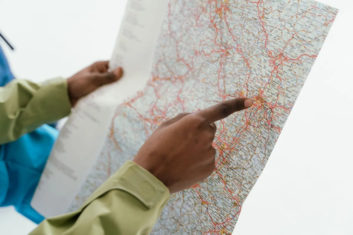
How to Map a Neighborhood for First-Time Visitors
A visitor gets off the train, comes up the steps, and looks at a phone screen that shows everything and nothing: a pale grid of streets with forty pins on it. What they need isn't a city map. It's a map of the next six blocks — where to walk, where to find a toilet or a coffee, and how to get back to where they started without asking three strangers. Building that map takes a free afternoon, a pencil, and a pair of comfortable shoes. Here's how to do it well.
Most neighborhood maps are drawn from the middle out, which is exactly backwards. Visitors don't arrive in the middle. They arrive at a station exit, a bus shelter, a parking garage stairwell, a ferry dock, or the corner where the airport shuttle drops them. Put that spot in the middle of your sheet and build outward from it.
Walk the first ninety seconds yourself, standing where a stranger would stand. What do they see? Which direction is uphill? Is the main street obvious or hidden behind a row of parked cars? Those first ninety seconds decide whether someone feels oriented or slightly lost, so mark the tiny things: the flight of steps down to the square, the gap between two buildings that leads to the market, the crossing where the light takes forever.
Don't worry about true north. If the map reads better with the station at the bottom and the park at the top, draw it that way and add a small arrow so anyone who cares can work it out.
A landmark is not a famous building. A landmark is something a tired person can spot from the street and use to confirm they're on the right track. That means visible, distinctive, and reasonably permanent.
Good candidates: a church spire, a painted mural, a big plane tree, a red awning, a footbridge, a clock, a sculpture, a building with an unusual color. Weak candidates: banks with identical façades, chain shops that could close or change sign next season, anything hidden behind scaffolding, anything that only looks distinctive from the air.
If someone has to walk five minutes to reach the next confirmation point, they'll start doubting the map. Aim for a landmark every two or three minutes of walking, with two or three visible at once from any given corner. Use the names people actually say out loud — "the corner with the yellow church," not the official name of the parish.
This is where a hand-made map beats an app: you've already done the filtering. Include the things people need in the first hour, not everything that exists.
Keep it to a ten-minute walk from your arrival point. Check the hours on a weekday and a weekend; a map that sends someone to a locked door at 3 p.m. on a Sunday loses trust immediately.
Pins tell people what exists. Loops tell them what to do. A visitor with a spare hour would far rather follow a shape than plan a route, so give them two or three circuits in different lengths: a fifteen-minute look around, a forty-minute wander, and something longer if the neighborhood deserves it.
When you lay out a loop, keep these rules in mind:
Not a paragraph. One line: "Quiet streets, good bakery halfway, two steep flights of steps." That single sentence does more than a page of instructions.
The fastest way to ruin a useful map is to be thorough. A visitor looks at it for six seconds at a time, standing up, often in poor light. Design for that.
Limit yourself to roughly twenty labels. Use two type sizes: one for streets and landmarks, one for everything else. Pick a single accent color, and let roads and water stay grey and pale blue. Keep the key down to five symbols or fewer, and give people a sense of distance with a small scale bar or, better, walking-time rings — "five minutes from here" — because minutes are what they're actually thinking about.
Then straighten things out. Real street networks are messy; a good visitor map drops the cul-de-sac that leads nowhere, merges the two parallel alleys into one, and rounds off the awkward angles. When you're done, print a test copy in black and white at sixty percent size. If you can still read it, it'll survive a phone screen, a photocopier, and a rainy afternoon.
Hand a draft to a friend from another part of town, or to a visitor at a café, and ask them to walk the middle loop and report where they hesitated. Don't ask whether they liked it. Ask where they stopped and why. You'll learn that the second landmark is invisible behind a van, or that everyone turns right too early at the pharmacy.
Fix those two problems and stop. Also write the month and year on the map. Shops close, streets get dug up, scaffolding goes away. A dated map that's slightly out of date is honest; an undated one quietly misleads.
You don't need software, a designer, or permission. You need one walk and one clean redraw.
Then leave a stack at the place people arrive — the café by the station, the library desk, the hostel front counter. A good neighborhood map is a small, specific act of hospitality: it says someone walked these streets on your behalf, and the way ahead is easier than it looks.
Photo: Pexels / Pixabay
Previous Post
Comparing Route Options: Fastest vs Scenic vs Safest
Next Post
Why Landmarks Make Poor Map Anchors and What to Use Instead