Smart Maps vs Paper Maps: Which Is Better for Weekend Travel?

You pack light for a weekend: one bag, one charger, a hopeful attitude about the weather. The map is usually the last thing you think about, and it is the thing you will look at most. Choosing between a folded paper sheet and a phone screen is not really a technology debate. It is a question about what kind of trip you want and how much you are willing to be interrupted.
Both tools are good. They are good at different moments, and they fail in ways you can predict. Once you know what those failures look like, packing for a two-day trip gets easier and a lot less anxious.
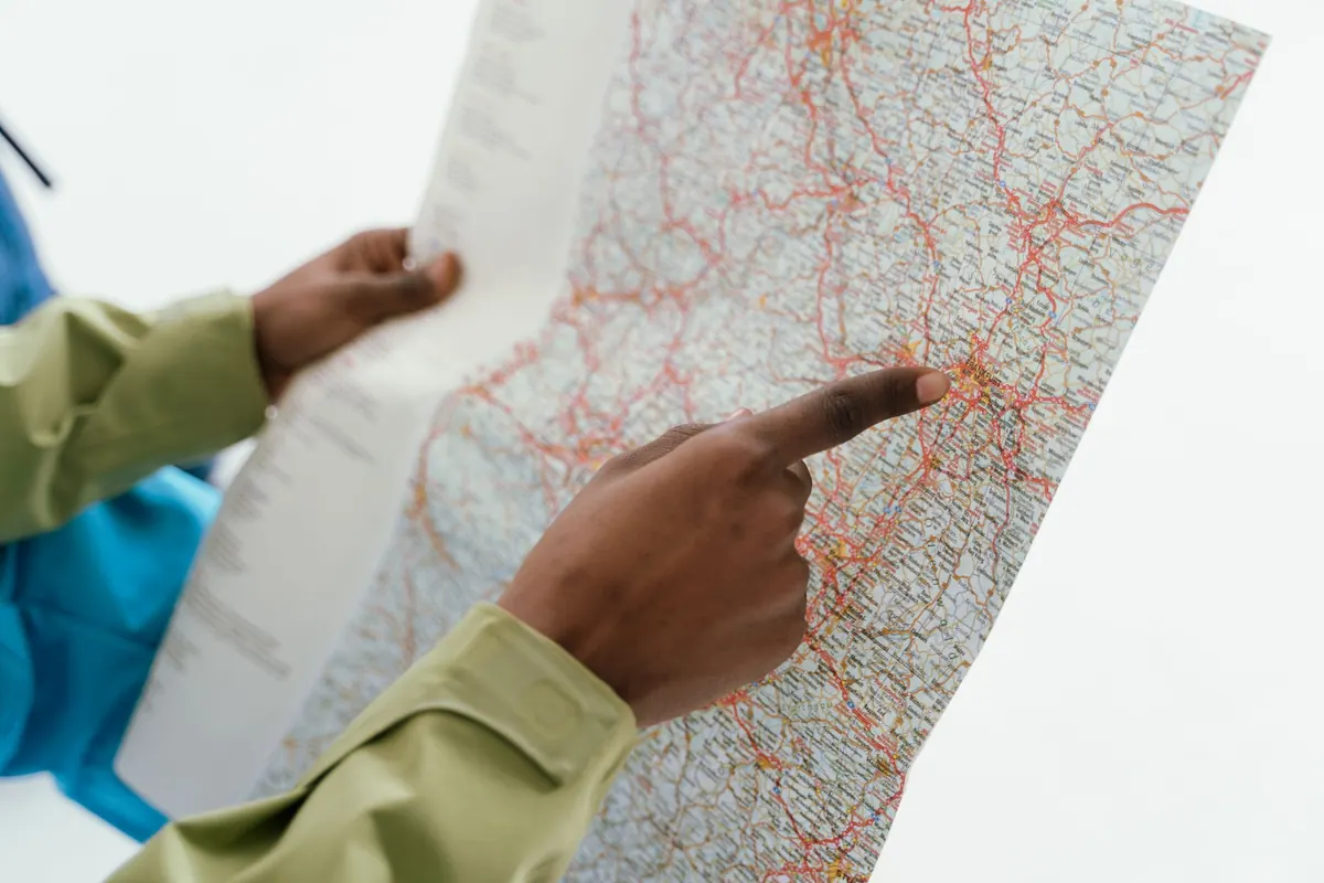
A paper map shows you everything at once. A full spread across a car bonnet gives you the shape of the region: the coast, the ridge, the river valley, the three villages you could reasonably reach before lunch. You can see the whole relationship between places without pinching and dragging, and that overview is hard to replicate on a small screen.
Contour lines are the other quiet advantage. Steep ground is drawn honestly, so a four-mile walk with tight, packed lines tells you something a smooth blue route line never will. Add a pencil and the map becomes a planning tool: circle the second-choice campsite, draw an arrow to the viewpoint, cross out the road you decide against. Nothing beeps. Nothing suggests a sponsored detour. If it starts to drizzle, a decent laminated map shrugs it off, and a wet paper map dries on the dashboard.
The weaknesses are equally plain. A sheet bought three years ago may not know about the new one-way system or the bridge that closed. It cannot tell you whether the pub kitchen stops serving at two, and it cannot give you a house number on a street of identical terraces.
For the last mile, the phone wins and it is not close. It knows the bus that actually runs on Sundays, the car park that is cheaper after six, the bakery that shut last month, and the footpath that starts behind an unmarked gate. In a town where the streets bend around a medieval centre, turn-by-turn walking directions save an argument.
It also handles change. A closed road or a missed stop gets recalculated in seconds, which matters more than it sounds when your weekend has a two-hour margin and a dinner booking.
Use the phone for the specific and the immediate: an address, an opening time, a departure board, the nearest tap to refill a bottle. Use paper for the general and the strategic. Most of the friction people report with phone maps comes from asking them to do the strategic job on a four-inch screen in bright sunlight.
Any claim that a phone map "works offline" deserves a five-minute check at your kitchen table, not a hopeful assumption at a trailhead. Coverage in valleys, moorland and old town centres is patchy in ways that maps do not advertise.
Screenshots are unglamorous and they are the most reliable thing on your phone. They do not need an app, a signal or a login. Save them to a folder you can reach with one tap, because fumbling through an album in the rain is its own small misery.
A paper map has never died at the exact moment a path forks. A phone will, and it will do it faster than you expect: screen brightness in daylight, constant GPS, cold air on a hilltop, photographs, and a search for a restaurant all pull from the same small cell.
Practical habits go a long way. Turn the screen brightness down and use voice directions with the phone in your pocket. Keep a power bank charged and in the same bag every trip, not "somewhere in the drawer". Charge in the car between stops. In cold weather, keep the phone in an inside pocket rather than a rucksack's outer mesh, where the battery drains noticeably faster.
There is also a planning rule worth adopting: treat 30 percent battery as empty. That reserve is what gets you a taxi number, a torch, or a last look at the route when the day runs long.
There is a real difference in how the two tools shape a day. A phone map is built to get you from A to B by the fastest route, and it is very good at it. The trouble is that the fastest route is rarely the one you would have chosen if you had seen the church tower a mile to the left.
A paper map, spread out with a coffee, shows you the tempting alternative. You notice the loop through the woods, the hamlet with the funny name, the lane that follows the river. You can decide to take it and nothing recalculates at you.
A workable split: plan the rough shape of the day on paper in the morning, then put the paper away and use the phone only to confirm the last few hundred metres. That keeps the wandering and loses the getting-lost-in-the-wrong-way.
Paper fails by being out of date, torn, left on a bus, or soaked through in a pocket. These are visible failures — you know immediately where you stand. A phone fails by losing signal, dying, cracking a screen, or refusing to charge through a wet port. These are sudden and often happen at the worst time, because that is when you are relying on it most.
Carrying both is not redundancy for its own sake. It is matching each tool to the failure you can tolerate. A dead phone with a paper map in the bag is an inconvenience. A paper map left at home with a dead phone is a navigation problem.
The useful answer to the weekend question is not a winner. It is a division of labour that you decide in advance, so you are not making it up in a car park.
Do that once and the routine sticks. Two days later you will have spent your attention on the trip rather than on the screen, which is roughly the point of going away in the first place.
Photo: StockSnap / Pixabay
Previous Post
How to Build a Walking Route Map for a Day in a New City
Next Post
10 Map Layers Every Traveler Should Check Before Booking a Hotel